
People · Papagayo, Playa Blanca · Yaiza
Papagayo, the coast that faces Fuerteventura
Eleven kilometres of sea separate Lanzarote from Fuerteventura. That strip, the Bocayna, was the gateway of the conquest, a shipping lane and a lookout against corsairs.
By Sol Juárez · 2026-11-09
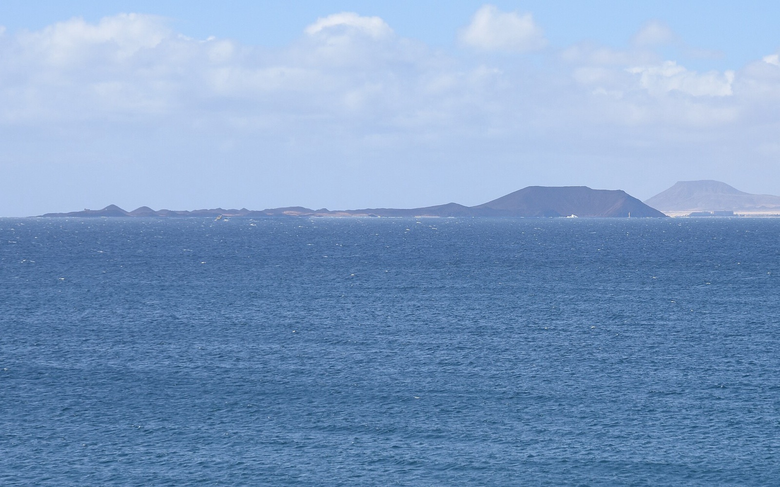
From the point of Papagayo, on a clear day, Fuerteventura is right there: a low golden line across the water, with the island of Lobos in between. This is the Bocayna, the strait between the two islands: about eleven kilometres at its narrowest, with strong currents and trade winds almost always.
This coast was a gateway. In 1402 the Norman knights Jean de Béthencourt and Gadifer de La Salle landed in Lanzarote and founded San Marcial del Rubicón, a few kilometres from here: the first lasting European settlement in the Canaries and, from 1404, a bishop's seat. From there the conquest of Fuerteventura was launched.
The same sea that joined also brought danger. To watch the Bocayna and defend against corsairs, the Las Coloradas castle was raised in the eighteenth century on Punta del Águila, in Playa Blanca. Sources disagree on dates: many point to the rebuilding of 1769, under Charles III; one mentions an attack by Algerian pirates in 1749. It was the only fortification in the south of the island.
Today the beach has parasols and swimmers, and only the tower stands guard. Turn towards the sea, and you can still see Fuerteventura.